

Preview
Creation Date
Fall 1971
Description
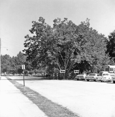
On a 1950's Sanborn map image, this street was Chauvin Avenue. It was located east of Stubbs Hall. The roadway was taken up and rerouted, parallel to its current location. On Google Maps, the new roadway is named Bayou Drive. Also on Google Maps, faint traces of Chauvin Avenue are still visible.